Original: $34.72
-65%$34.72
$12.15The Story
A professional-grade wall map for navigating, planning, and understanding metropolitan Perth—clear, durable, and made in Australia.
The Greater Perth Map by Hema is the ideal reference tool for anyone who needs a clear, detailed, and practical overview of the Perth metropolitan area. Whether you’re coordinating business operations, delivering services across suburbs, planning infrastructure, or simply gaining a better understanding of Perth’s urban layout, this map delivers both clarity and accuracy.
Covering the metro region from Quinns Rocks in the north to Safety Bay in the south, and extending inland to Mundaring, this map showcases major and minor roads, national and state route numbers, postcodes, and suburb boundaries, all in Hema’s signature easy-to-read style. It also includes proposed and current freeway developments, making it suitable for forward planning and strategic development use.
🗺️ Comprehensive Coverage
-
Northern extent: Quinns Rocks
-
Southern extent: Safety Bay
-
Eastern boundary: Mundaring and foothills of the Darling Scarp
-
Covers key corridors including:
-
Mitchell Freeway
-
Kwinana Freeway
-
Tonkin Highway
-
Roe Highway
-
Great Eastern & Northern Highways
-
This map is particularly useful for viewing commuter and logistics routes, understanding urban expansion zones, and visualising regional accessibility within Perth.
🚗 Road & Planning Features
-
Clearly shows:
-
State and national highways
-
Major arterial and secondary roads
-
Present and proposed freeway alignments
-
-
Distinguishes built-up areas, parklands, and industrial zones
-
Ideal for route planning, sales mapping, or locating regional service gaps
📍 Postcodes & Suburb Indexing
-
Each suburb is labelled and bounded, and includes postcode references
-
Suburb boundaries make the map invaluable for:
-
Real estate professionals
-
Urban planners
-
Delivery and courier companies
-
Council or electorate mapping
-
🖨️ Print & Production Quality
Printed with a commitment to durability and sustainability:
-
Paper: 120 gsm FSC-certified matte-coated paper
-
Ink: Hewlett-Packard archival-grade pigment inks, providing:
-
Fade resistance
-
Vivid, high-contrast colours
-
Long-lasting legibility
-
-
Lamination: True hot encapsulation using two sheets of 90-micron gloss laminate, ensuring:
-
Waterproof and tear-resistant surface
-
Write-on/wipe-off functionality using whiteboard markers
-
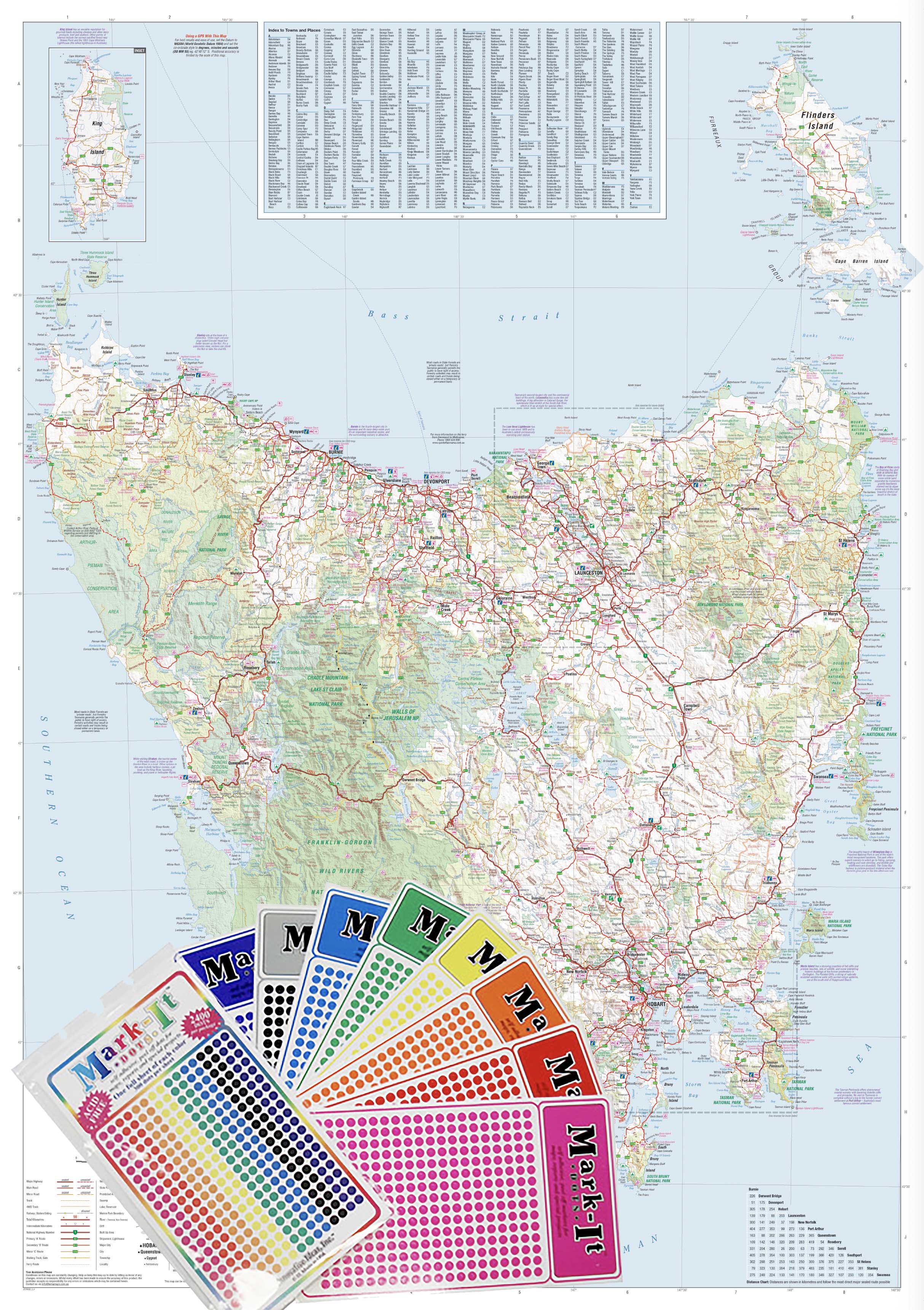
Compatibility with acid-free Mark-It-Dots for marking sales zones, project locations, or delivery hubs
-
🛒 Purchase Options
| Format | Description | Price (AUD) |
|---|---|---|
| Flat Laminated Map | Brand-new, professionally laminated and delivered flat for wall display | $99.00 |
| Laminated Folded Map | Previously folded map, laminated (minor crease lines may be visible) | $49.95 |
Both options are fully encapsulated for maximum protection and longevity.
📐 Specifications
-
Scale: 1:80,000 – ideal for both detail and metro-wide overview
-
Size: 700 mm (W) × 1000 mm (H)
-
Publisher: Hema Maps – Australia’s most trusted name in mapping
-
Printed in: Australia
🎯 Who It’s For
This map is perfect for:
-
Business owners and franchise managers defining delivery zones or sales territories
-
Transport and logistics coordinators planning suburban routing
-
Town planners and developers identifying growth corridors and arterial road access
-
Educators and students needing a Perth metro reference for geography or civics studies
-
Emergency service providers looking for a reliable overview of suburb layout and infrastructure
-
Real estate agents identifying catchment areas and postcode boundaries
✅ Summary
With its easy-to-read format, professional finish, and thoughtful inclusion of road, suburb, and postcode data, the Greater Perth Map by Hema is much more than a map—it’s a powerful visual tool for planning, communication, and navigation.
Whether mounted on the wall of a warehouse, city council office, or private study, this durable and beautifully printed map provides a reliable snapshot of Western Australia’s capital city at work and in motion.
Made in Australia. Designed for clarity. Built to last.
Navigate Perth with confidence—only with Hema.

Details & Craftsmanship
Every detail has been carefully considered to bring you the perfect product.
Description
A professional-grade wall map for navigating, planning, and understanding metropolitan Perth—clear, durable, and made in Australia.
The Greater Perth Map by Hema is the ideal reference tool for anyone who needs a clear, detailed, and practical overview of the Perth metropolitan area. Whether you’re coordinating business operations, delivering services across suburbs, planning infrastructure, or simply gaining a better understanding of Perth’s urban layout, this map delivers both clarity and accuracy.
Covering the metro region from Quinns Rocks in the north to Safety Bay in the south, and extending inland to Mundaring, this map showcases major and minor roads, national and state route numbers, postcodes, and suburb boundaries, all in Hema’s signature easy-to-read style. It also includes proposed and current freeway developments, making it suitable for forward planning and strategic development use.
🗺️ Comprehensive Coverage
-
Northern extent: Quinns Rocks
-
Southern extent: Safety Bay
-
Eastern boundary: Mundaring and foothills of the Darling Scarp
-
Covers key corridors including:
-
Mitchell Freeway
-
Kwinana Freeway
-
Tonkin Highway
-
Roe Highway
-
Great Eastern & Northern Highways
-
This map is particularly useful for viewing commuter and logistics routes, understanding urban expansion zones, and visualising regional accessibility within Perth.
🚗 Road & Planning Features
-
Clearly shows:
-
State and national highways
-
Major arterial and secondary roads
-
Present and proposed freeway alignments
-
-
Distinguishes built-up areas, parklands, and industrial zones
-
Ideal for route planning, sales mapping, or locating regional service gaps
📍 Postcodes & Suburb Indexing
-
Each suburb is labelled and bounded, and includes postcode references
-
Suburb boundaries make the map invaluable for:
-
Real estate professionals
-
Urban planners
-
Delivery and courier companies
-
Council or electorate mapping
-
🖨️ Print & Production Quality
Printed with a commitment to durability and sustainability:
-
Paper: 120 gsm FSC-certified matte-coated paper
-
Ink: Hewlett-Packard archival-grade pigment inks, providing:
-
Fade resistance
-
Vivid, high-contrast colours
-
Long-lasting legibility
-
-
Lamination: True hot encapsulation using two sheets of 90-micron gloss laminate, ensuring:
-
Waterproof and tear-resistant surface
-
Write-on/wipe-off functionality using whiteboard markers
-
Compatibility with acid-free Mark-It-Dots for marking sales zones, project locations, or delivery hubs
-
🛒 Purchase Options
| Format | Description | Price (AUD) |
|---|---|---|
| Flat Laminated Map | Brand-new, professionally laminated and delivered flat for wall display | $99.00 |
| Laminated Folded Map | Previously folded map, laminated (minor crease lines may be visible) | $49.95 |
Both options are fully encapsulated for maximum protection and longevity.
📐 Specifications
-
Scale: 1:80,000 – ideal for both detail and metro-wide overview
-
Size: 700 mm (W) × 1000 mm (H)
-
Publisher: Hema Maps – Australia’s most trusted name in mapping
-
Printed in: Australia
🎯 Who It’s For
This map is perfect for:
-
Business owners and franchise managers defining delivery zones or sales territories
-
Transport and logistics coordinators planning suburban routing
-
Town planners and developers identifying growth corridors and arterial road access
-
Educators and students needing a Perth metro reference for geography or civics studies
-
Emergency service providers looking for a reliable overview of suburb layout and infrastructure
-
Real estate agents identifying catchment areas and postcode boundaries
✅ Summary
With its easy-to-read format, professional finish, and thoughtful inclusion of road, suburb, and postcode data, the Greater Perth Map by Hema is much more than a map—it’s a powerful visual tool for planning, communication, and navigation.
Whether mounted on the wall of a warehouse, city council office, or private study, this durable and beautifully printed map provides a reliable snapshot of Western Australia’s capital city at work and in motion.
Made in Australia. Designed for clarity. Built to last.
Navigate Perth with confidence—only with Hema.