The Story
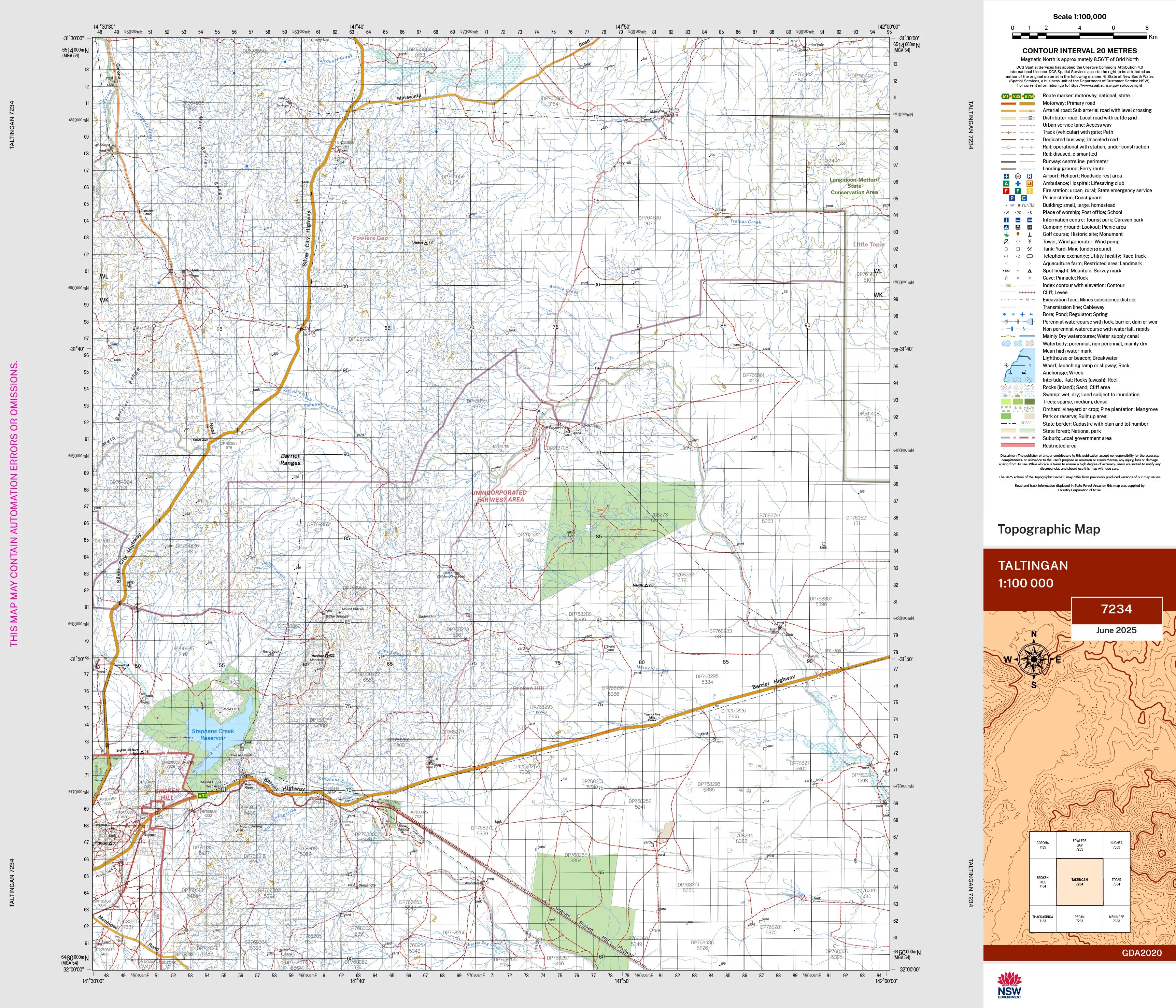
The Taltingan 1:100,000 scale New South Wales topographic map shows contours, streams, roads, tracks, buildings, place names, points of interest, vegetation, selected administrative boundaries and much more.
This map is perfect for emergency services, bushwalkers, environmental resource managers, engineers and others for planning, development and recreational activities.
If you would like to use this map in the field, we can supply it on waterproof/tearproof DuPont™ Tyvek®. Tyvek® is made of pure polyethylene fibres (plastic) but has the properties of paper, which means it is foldable.
We can laminate this map, allowing you to draw on it in whiteboard marker or apply our map dots to locations of interest without permanently marking the map. The lamination also makes the map durable and protects against tears and stains.
To download a complete index, please click NSW Topographic Map Index.
Scale 1:100,000
Size 700 mm (w) x 600 mm (h)
Description
The Taltingan 1:100,000 scale New South Wales topographic map shows contours, streams, roads, tracks, buildings, place names, points of interest, vegetation, selected administrative boundaries and much more.
This map is perfect for emergency services, bushwalkers, environmental resource managers, engineers and others for planning, development and recreational activities.
If you would like to use this map in the field, we can supply it on waterproof/tearproof DuPont™ Tyvek®. Tyvek® is made of pure polyethylene fibres (plastic) but has the properties of paper, which means it is foldable.
We can laminate this map, allowing you to draw on it in whiteboard marker or apply our map dots to locations of interest without permanently marking the map. The lamination also makes the map durable and protects against tears and stains.
To download a complete index, please click NSW Topographic Map Index.
Scale 1:100,000
Size 700 mm (w) x 600 mm (h)