Original: $13.87
-65%$13.87
$4.85The Story
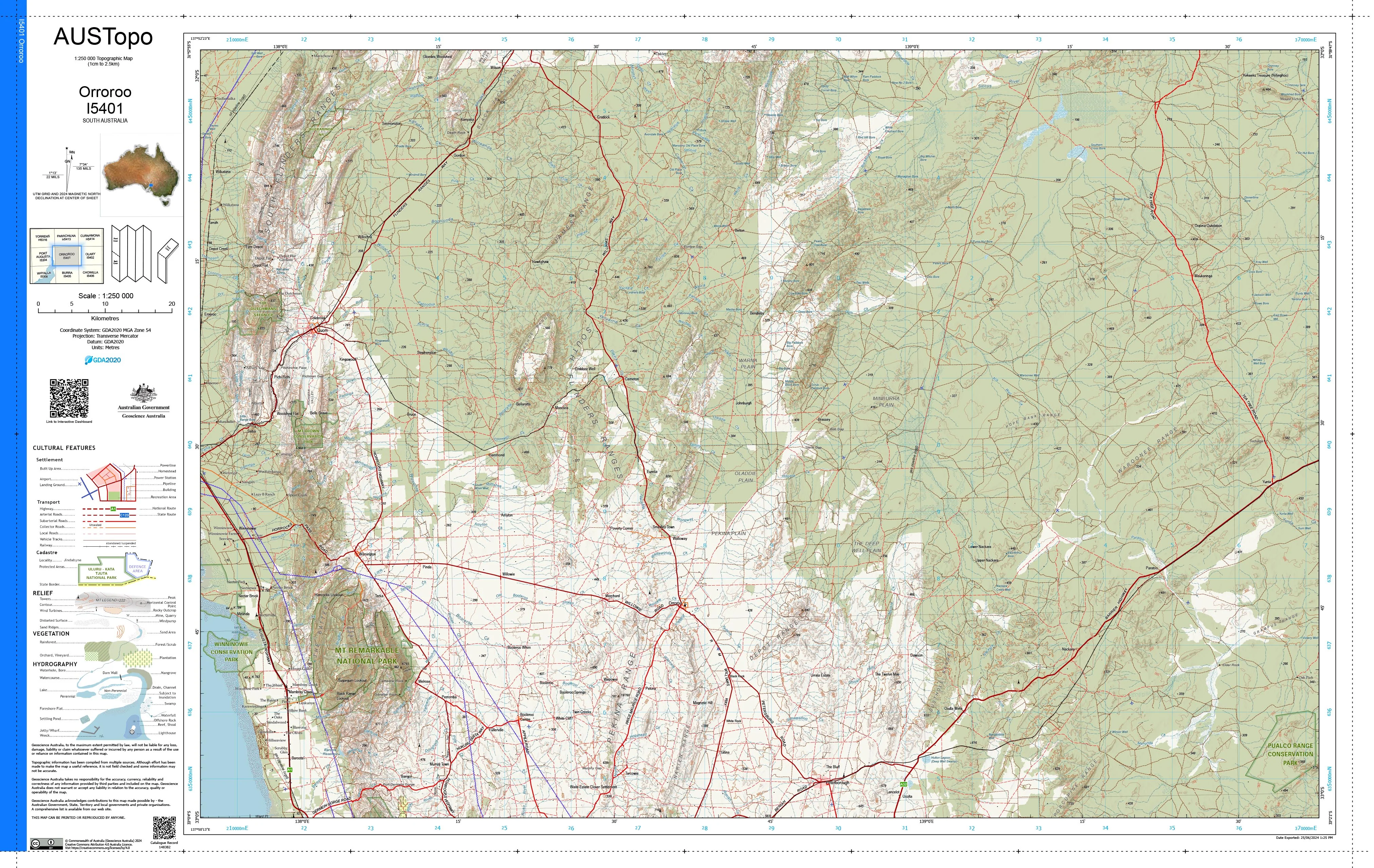
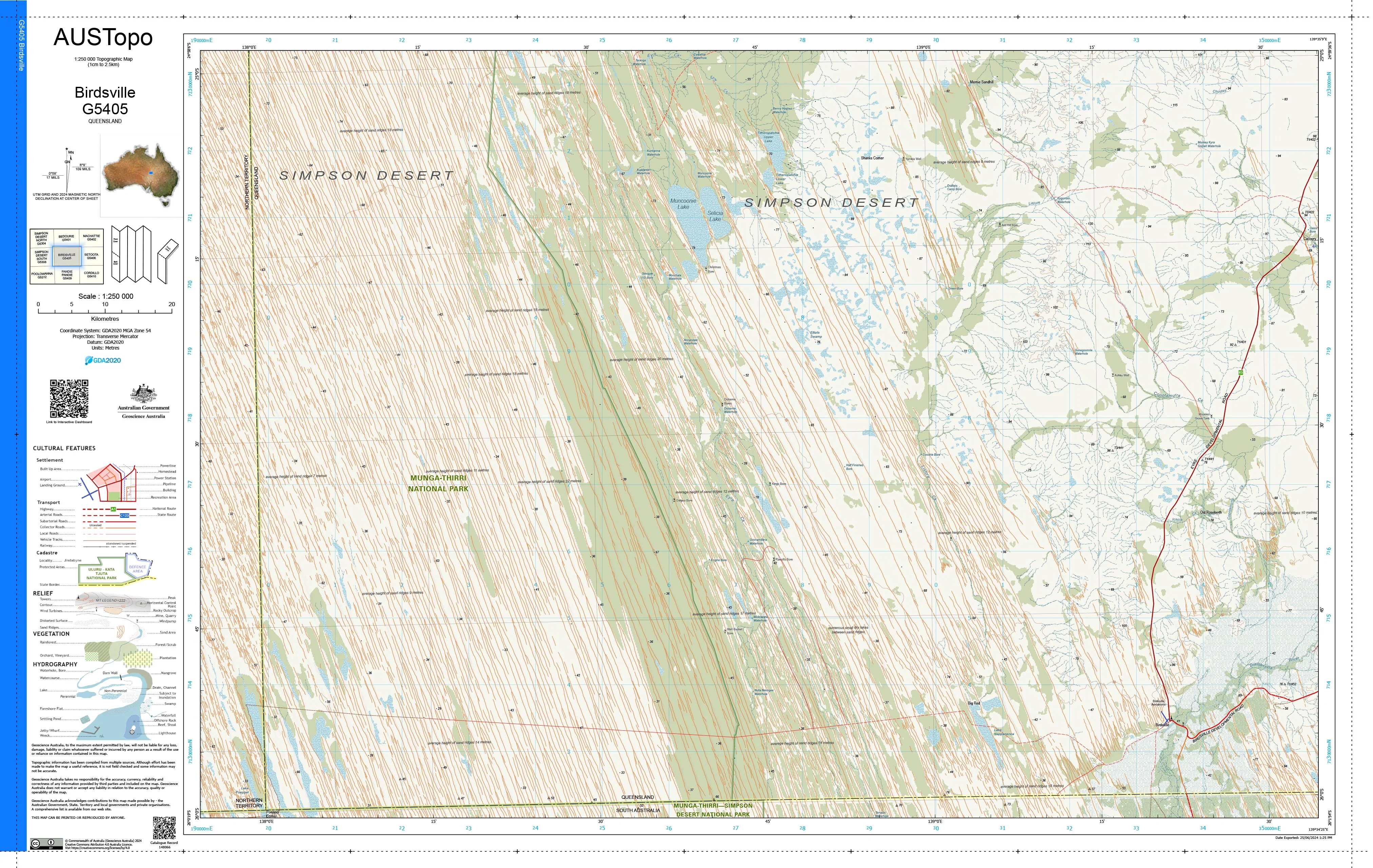
Kangaroo Island Special I5316 — AUSTopo 1:250,000 Topographic Map
Large-area clarity for planning, navigation, and fieldwork
Bring Kangaroo Island into sharp, authoritative focus with this AUSTopo 1:250,000 sheet from Australia’s national topographic series. Designed for professionals and serious explorers alike, this map delivers continent-wide consistency with the local detail needed for confident decision-making—whether you’re planning operations, managing land, or exploring off the beaten track.
At 1:250,000 scale (1 cm = 2.5 km), it’s the largest scale that covers the entire Australian continent, making it ideal for regional overviews without sacrificing essential terrain and infrastructure detail.
🧭 Why this map stands out
-
Big-picture coverage, reliable detail — see terrain, transport, and landforms at a glance
-
Current mapping — updated from 2025, aligned to modern Australian datums
-
Professional-grade cartography — trusted by emergency services, engineers, planners, and environmental managers
-
Versatile use — equally at home in the office, classroom, or the field
-
Australian made — printed locally to exacting standards
🗺️ What you’ll see
-
Contours and spot elevations
-
Streams, coastlines, and hydrology
-
Roads, tracks, buildings, and place names
-
Vegetation and administrative boundaries
-
Dual coordinate grids for precise referencing
📐 Map details at a glance
-
Scale: 1:250,000
-
Series: AUSTopo (Australian Digital Topographic Map Series)
-
Coverage: Kangaroo Island Special I5316
-
Map currency: From 2025
-
Coordinates: Geographical & MGA
-
Datum: GDA2020, AHD
-
Projection: Universal Transverse Mercator (UTM)
-
Sheet size: 800 mm (W) × 500 mm (H)
🎨 Field-ready print options
All versions are printed in Australia using crisp, high-resolution colour for maximum legibility.
-
📄 Paper (standard)
Ideal for planning, reference, and framing. -
💧 DuPont™ Tyvek® (waterproof & tear-proof)
Foldable, ultra-durable, and purpose-built for field use—perfect for boating, surveying, and outdoor operations. -
🔒 Laminated (write-on / wipe-off)
True encapsulation protects against tears and stains. Mark routes or notes with whiteboard markers or map dots—then wipe clean and reuse.
🎯 Who it’s for
-
Emergency services & incident planners
-
Environmental & land-use managers
-
Engineers and infrastructure planners
-
Educators and students
-
Adventurers, boaters, and regional travellers
🇦🇺 Our commitment
Every AUSTopo map is printed and finished in Australia, carefully checked for accuracy and colour fidelity, and packed with care—so you receive a map that’s ready for real-world use the moment it arrives.
Explore Kangaroo Island with confidence. Select your finish and add this essential topographic map to your kit today.
Description
Kangaroo Island Special I5316 — AUSTopo 1:250,000 Topographic Map
Large-area clarity for planning, navigation, and fieldwork
Bring Kangaroo Island into sharp, authoritative focus with this AUSTopo 1:250,000 sheet from Australia’s national topographic series. Designed for professionals and serious explorers alike, this map delivers continent-wide consistency with the local detail needed for confident decision-making—whether you’re planning operations, managing land, or exploring off the beaten track.
At 1:250,000 scale (1 cm = 2.5 km), it’s the largest scale that covers the entire Australian continent, making it ideal for regional overviews without sacrificing essential terrain and infrastructure detail.
🧭 Why this map stands out
-
Big-picture coverage, reliable detail — see terrain, transport, and landforms at a glance
-
Current mapping — updated from 2025, aligned to modern Australian datums
-
Professional-grade cartography — trusted by emergency services, engineers, planners, and environmental managers
-
Versatile use — equally at home in the office, classroom, or the field
-
Australian made — printed locally to exacting standards
🗺️ What you’ll see
-
Contours and spot elevations
-
Streams, coastlines, and hydrology
-
Roads, tracks, buildings, and place names
-
Vegetation and administrative boundaries
-
Dual coordinate grids for precise referencing
📐 Map details at a glance
-
Scale: 1:250,000
-
Series: AUSTopo (Australian Digital Topographic Map Series)
-
Coverage: Kangaroo Island Special I5316
-
Map currency: From 2025
-
Coordinates: Geographical & MGA
-
Datum: GDA2020, AHD
-
Projection: Universal Transverse Mercator (UTM)
-
Sheet size: 800 mm (W) × 500 mm (H)
🎨 Field-ready print options
All versions are printed in Australia using crisp, high-resolution colour for maximum legibility.
-
📄 Paper (standard)
Ideal for planning, reference, and framing. -
💧 DuPont™ Tyvek® (waterproof & tear-proof)
Foldable, ultra-durable, and purpose-built for field use—perfect for boating, surveying, and outdoor operations. -
🔒 Laminated (write-on / wipe-off)
True encapsulation protects against tears and stains. Mark routes or notes with whiteboard markers or map dots—then wipe clean and reuse.
🎯 Who it’s for
-
Emergency services & incident planners
-
Environmental & land-use managers
-
Engineers and infrastructure planners
-
Educators and students
-
Adventurers, boaters, and regional travellers
🇦🇺 Our commitment
Every AUSTopo map is printed and finished in Australia, carefully checked for accuracy and colour fidelity, and packed with care—so you receive a map that’s ready for real-world use the moment it arrives.
Explore Kangaroo Island with confidence. Select your finish and add this essential topographic map to your kit today.