The Story
Michelin Local Map 323 – France: Cher / Indre
Scale 1:150,000 | Ultra-Detailed Local Map | Ideal for Exploring Central France
🌾 Discover the Hidden Charms of Rural France with Michelin’s Most Detailed Mapping
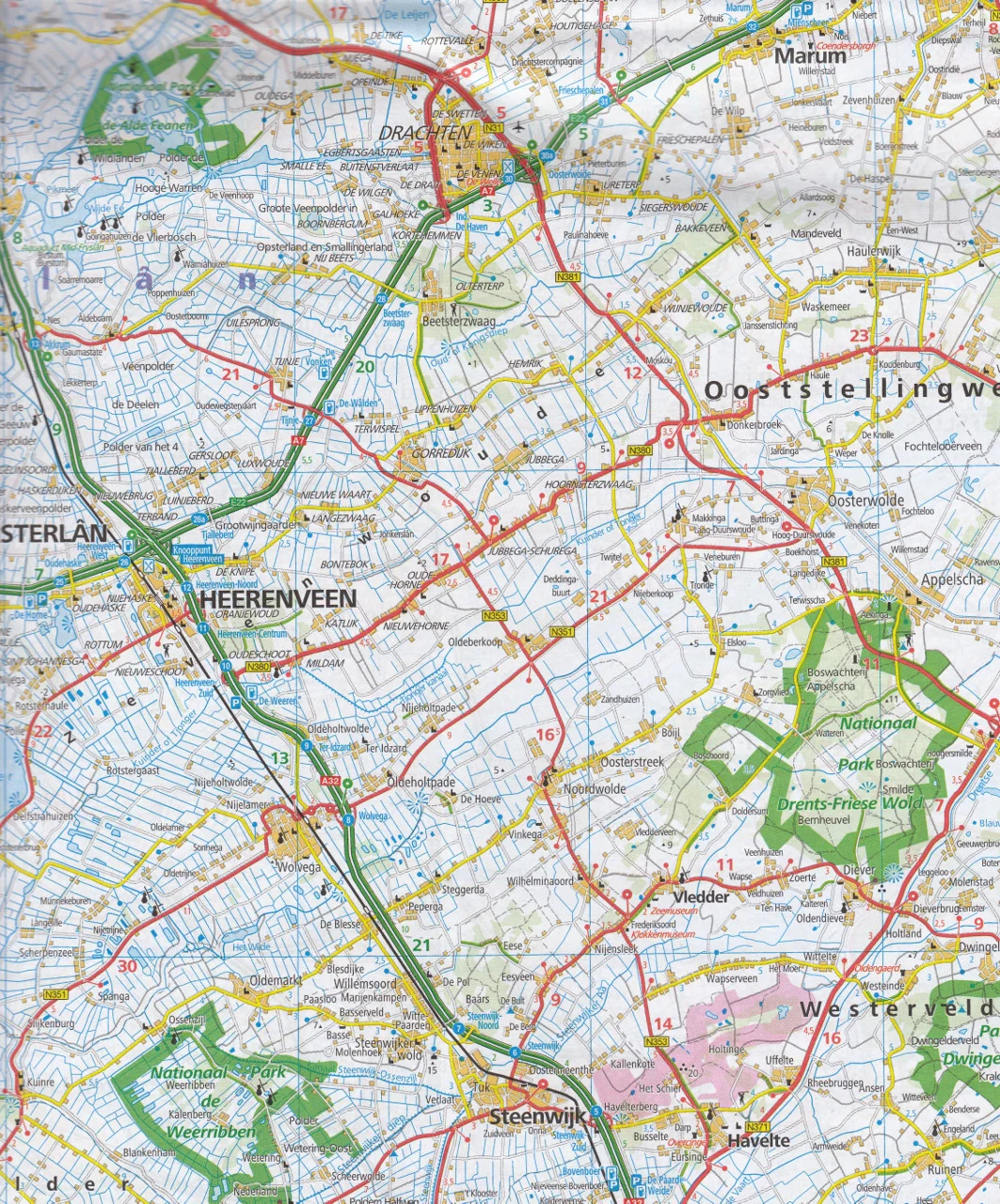
Michelin Local Map 323 is your ultimate companion for uncovering the timeless beauty of the Cher and Indre departments in central France. At a generous scale of 1:150,000 (1 cm = 1.5 km), this map provides exceptionally detailed coverage of every village, backroad, château, and forest path — perfect for road trippers, cyclists, hikers, and slow travellers looking to explore beyond the beaten track.
This is the most detailed Michelin map available for the region.
🔍 Key Features
| Feature Description | Included ✅ |
|---|---|
| 🛣️ Ultra-detailed road network — from motorways to local farm lanes | ✅ |
| 🏡 All towns, villages, hamlets, and rural roads mapped | ✅ |
| 🧭 GPS-compatible grid and clear cartographic design | ✅ |
| 🏰 Touristic highlights, scenic routes, historic towns, rivers & forests | ✅ |
| 📍 Indexed place names for easy location search | ✅ |
| 📏 Distance and driving time chart for planning efficient itineraries | ✅ |
| 📕 Multilingual map legend, including English, French, German, and Spanish | ✅ |
🗺️ Regional Highlights
Explore the peaceful heartland of France, a region rich in countryside charm and cultural treasures:
-
Cher Department: Visit the medieval town of Bourges, famous for its Gothic cathedral (UNESCO-listed), and explore the Sancerre wine region.
-
Indre Department: Discover Châteauroux, the storybook village of Gargilesse, and the nature haven of Brenne Regional Natural Park.
-
Highlights include châteaux, abbeys, vineyards, and winding rivers set among quiet pastoral landscapes.
📐 Specifications
| Specification | Details |
|---|---|
| Map Title | Michelin Local Map 323 – Cher / Indre |
| Scale | 1:150,000 (1 cm = 1.5 km) |
| Size (Unfolded) | 1200 mm x 1000 mm |
| Format | Folded paper map with card cover |
| Language | Local place names, multilingual legend |
| Publisher | Michelin Maps, France |
🚗 Who This Map Is For:
-
Travellers seeking the most comprehensive local coverage of Cher and Indre
-
Wine tourists, history buffs, and nature lovers
-
Self-drive holidaymakers, caravaners, and slow travellers
-
Hikers, cyclists, and rural explorers navigating minor roads and trails
📦 Order & Delivery
-
Order on Demand – Please allow 7–10 working days for delivery
-
Ships from Australia
-
Combine with Map 518 Central France or Map 522 Auvergne for broader regional coverage
Michelin Local Map 323 – Cher & Indre
📍 Let Michelin guide you through the countryside where every backroad leads to discovery.

Details & Craftsmanship
Every detail has been carefully considered to bring you the perfect product.

Details & Craftsmanship
Every detail has been carefully considered to bring you the perfect product.
Description
Michelin Local Map 323 – France: Cher / Indre
Scale 1:150,000 | Ultra-Detailed Local Map | Ideal for Exploring Central France
🌾 Discover the Hidden Charms of Rural France with Michelin’s Most Detailed Mapping
Michelin Local Map 323 is your ultimate companion for uncovering the timeless beauty of the Cher and Indre departments in central France. At a generous scale of 1:150,000 (1 cm = 1.5 km), this map provides exceptionally detailed coverage of every village, backroad, château, and forest path — perfect for road trippers, cyclists, hikers, and slow travellers looking to explore beyond the beaten track.
This is the most detailed Michelin map available for the region.
🔍 Key Features
| Feature Description | Included ✅ |
|---|---|
| 🛣️ Ultra-detailed road network — from motorways to local farm lanes | ✅ |
| 🏡 All towns, villages, hamlets, and rural roads mapped | ✅ |
| 🧭 GPS-compatible grid and clear cartographic design | ✅ |
| 🏰 Touristic highlights, scenic routes, historic towns, rivers & forests | ✅ |
| 📍 Indexed place names for easy location search | ✅ |
| 📏 Distance and driving time chart for planning efficient itineraries | ✅ |
| 📕 Multilingual map legend, including English, French, German, and Spanish | ✅ |
🗺️ Regional Highlights
Explore the peaceful heartland of France, a region rich in countryside charm and cultural treasures:
-
Cher Department: Visit the medieval town of Bourges, famous for its Gothic cathedral (UNESCO-listed), and explore the Sancerre wine region.
-
Indre Department: Discover Châteauroux, the storybook village of Gargilesse, and the nature haven of Brenne Regional Natural Park.
-
Highlights include châteaux, abbeys, vineyards, and winding rivers set among quiet pastoral landscapes.
📐 Specifications
| Specification | Details |
|---|---|
| Map Title | Michelin Local Map 323 – Cher / Indre |
| Scale | 1:150,000 (1 cm = 1.5 km) |
| Size (Unfolded) | 1200 mm x 1000 mm |
| Format | Folded paper map with card cover |
| Language | Local place names, multilingual legend |
| Publisher | Michelin Maps, France |
🚗 Who This Map Is For:
-
Travellers seeking the most comprehensive local coverage of Cher and Indre
-
Wine tourists, history buffs, and nature lovers
-
Self-drive holidaymakers, caravaners, and slow travellers
-
Hikers, cyclists, and rural explorers navigating minor roads and trails
📦 Order & Delivery
-
Order on Demand – Please allow 7–10 working days for delivery
-
Ships from Australia
-
Combine with Map 518 Central France or Map 522 Auvergne for broader regional coverage
Michelin Local Map 323 – Cher & Indre
📍 Let Michelin guide you through the countryside where every backroad leads to discovery.